Parrot ANAFI Ai Masters GNSS-Denied Zones with AI
Robot Details
ANAFI Ai • ParrotPublished
February 5, 2026
Reading Time
2 min read
Author
Origin Of Bots Editorial Team
Battlefield Drone Debuts
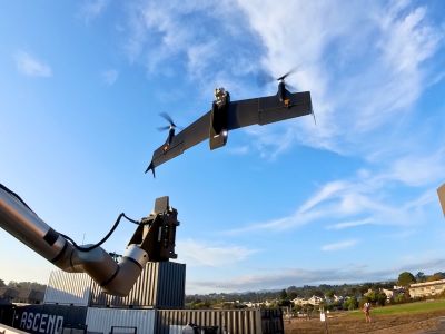
Parrot unveils the ANAFI Ai, a quadcopter engineered for relentless performance in GNSS-denied environments like jammed battlefields or urban canyons. This 4G-connected robotic UAV disrupts traditional drone reliance on GPS, GLONASS, or Galileo by leveraging advanced AI navigation to maintain precise control. Deployed for Ukraine operations, it transforms tactical reconnaissance, enabling operators to capture real-time intelligence without satellite signals. The launch highlights Parrot's pivot toward resilient, mission-critical aerial systems amid escalating global conflicts.
AI Navigation Triumphs
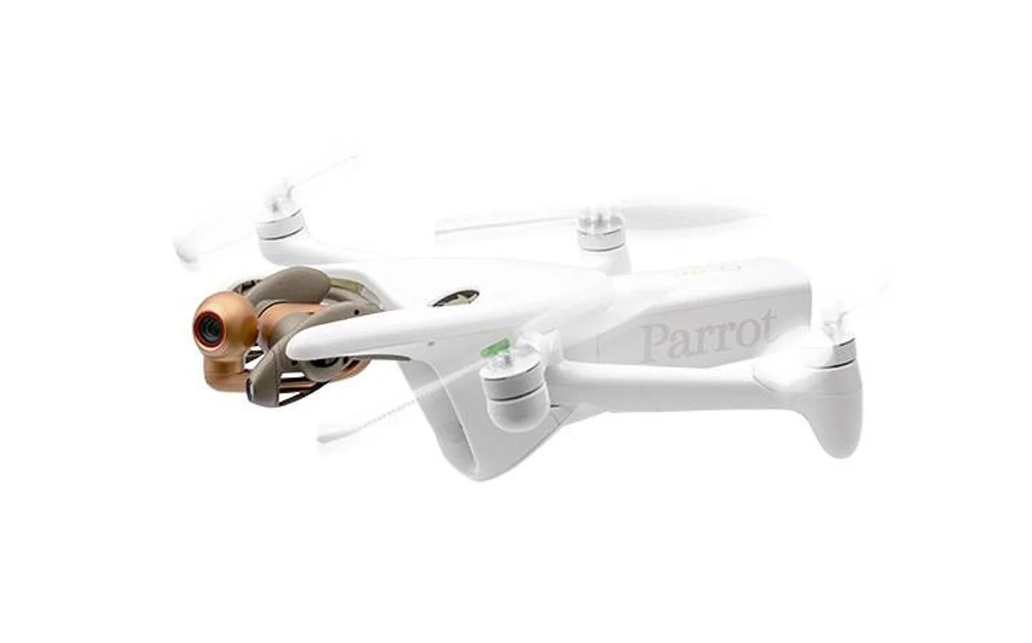
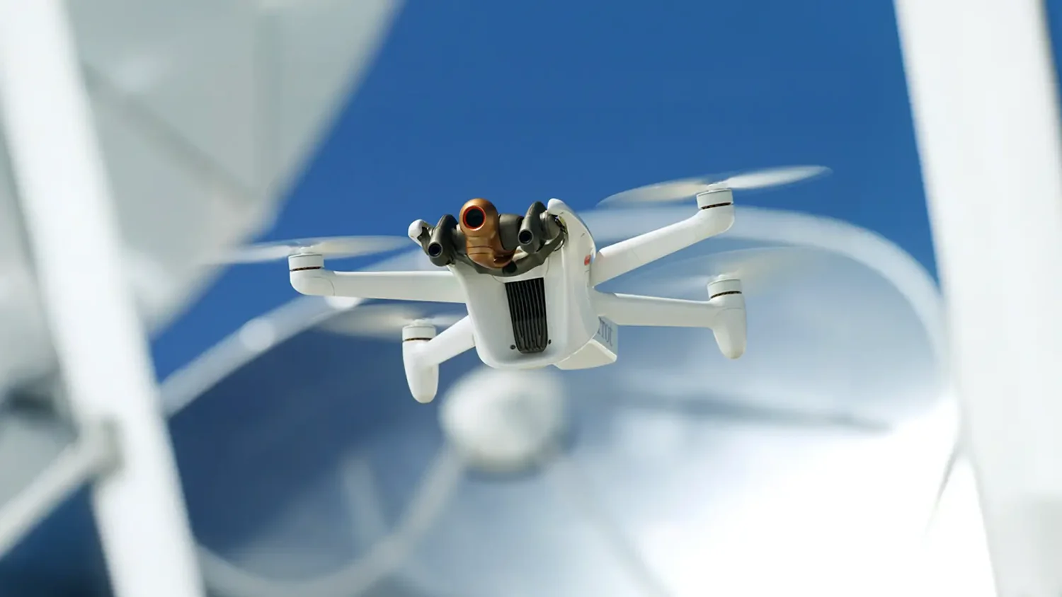
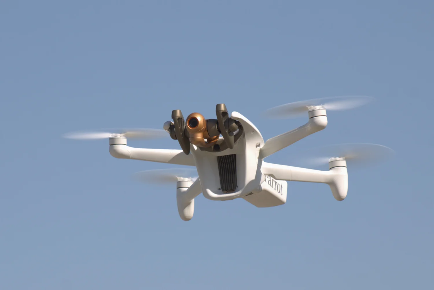
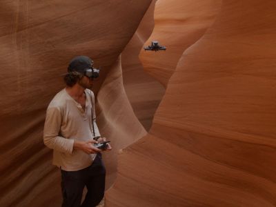
Core to its battlefield dominance, ANAFI Ai fuses SLAM and visual odometry for autonomous positioning, sidestepping GNSS blackouts that cripple rivals. Twin stereo cameras deliver 360-degree obstacle avoidance, scanning 311 degrees vertically and 110 horizontally to dodge threats mid-flight. Operators switch seamlessly between 4G LTE and Wi-Fi across 28 global bands, streaming 1080p video at 30 fps without telecom interference. This setup empowers beyond-visual-line-of-sight missions, redefining drone utility in contested airspace.
Engineering Edges Emerge
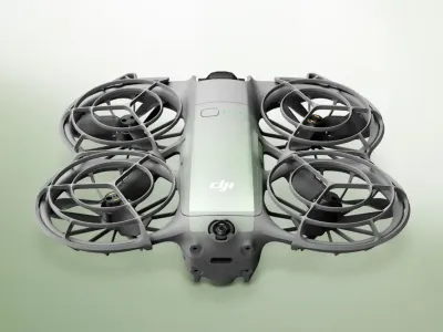
Breakthroughs shine in its 6-axis stabilization, blending mechanical gimbal for pitch, roll, and yaw with electronic image stabilization for buttery-smooth footage. IP53 rating shrugs off dust and rain, while 81 dB noise keeps it stealthy. Ready-to-fly in 60 seconds, it packs MicroSD and SIM slots for extended data logging. These advances position ANAFI Ai as a rugged workhorse, outpacing predecessors in harsh conditions through open-source FreeFlight 7 software that invites custom tweaks.
Combat Missions Unleashed
In GNSS-denied theaters, ANAFI Ai excels at surveying war zones, inspecting damaged infrastructure, and mapping enemy positions with photogrammetry modes like single grid or orbit. Autonomous return-to-home, geofencing, and low-battery alerts ensure safe ops during prolonged patrols. Construction and agriculture uses extend to civilian rebuilds, but its military debut in Ukraine spotlights rapid 2D/3D modeling at 0.46 cm/px ground sample distance from 30 meters. This versatility accelerates decision-making in high-stakes scenarios.
Specs Power Missions
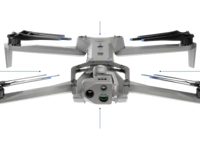
Unfolded at 32x44x11.8 cm and weighing 0.898 kg, this quadcopter hits 16 m/s horizontal speed (57.6 km/h), 4 m/s climb, and 3 m/s descent for agile maneuvers. A 48MP Quad Bayer CMOS camera pairs with stereo sensors, GPS/GLONASS/Galileo fallback, and SLAM/visual odometry for pinpoint navigation. Safety includes 360-degree avoidance, auto return-to-home, geofencing, and alerts. FreeFlight 7 app drives surveying, mapping, inspection, and agriculture tasks, with batteries lasting roughly 300 cycles or five years.
Rivals Faceoff Analysis
| Robot | Strengths over ANAFI Ai | ANAFI Ai Advantages | Weaknesses vs. ANAFI Ai |
|---|---|---|---|
| Autel Evo Lite+ | Lighter (835g), longer 40-min flight | Superior 4G BVLOS, GNSS-denied AI nav | Shorter 32-min endurance |
| DJI Mini 5 Pro | Ultra-light (under 250g), no FAA reg | 48MP survey precision, obstacle avoidance | Heavier, regulated weight class |
| DJI Avata 3 | FPV immersion, 46-min flight | 4G global streaming, photogrammetry modes | Less stable for mapping |
| Dragonfish Standard | 60-min flight, LiDAR option | Compact AI autonomy, cheaper entry | Bulkier, pricier sensors |
Sources
Related Articles
DJI Mini 5 Pro Unleashes 1-Inch 50MP Sensor, 4K/120fps Power

Army Upgrades Tactical ISR with Skydio X2D Drone Platform
Autel Retires EVO Nano and Lite Consumer Drone Series
Dragonfish Standard Masters Mobile Platform VTOL Takeoffs
Related Comparisons
Compare ANAFI Ai with similar robots
DJI Air 3 vs DJI Air 3S
Compare DJI Air 3 vs DJI Air 3S for camera quality, low-light sensors, obstacle avoidance, battery life, and pro videography outcomes.
DJI Avata 3 vs DJI Neo 2
Which camera drone is better? DJI Avata 3 vs DJI Neo 2 compared for image quality, battery life, range, safety, and pro vs beginner use.
Skydio X2D vs Skydio X10
Compare Skydio X2D vs Skydio X10 for camera quality, flight time, range, and cinematic capabilities in defense and inspection.
Skydio F10 vs Skydio X2D
Compare Skydio F10 vs Skydio X2D for camera quality, flight range, obstacle avoidance, and professional surveillance performance.
Learn More About This Robot
Discover detailed specifications, reviews, and comparisons for ANAFI Ai.
View Robot Details →