M3E Boosts Power Line Scans 57% in 2026 Trials
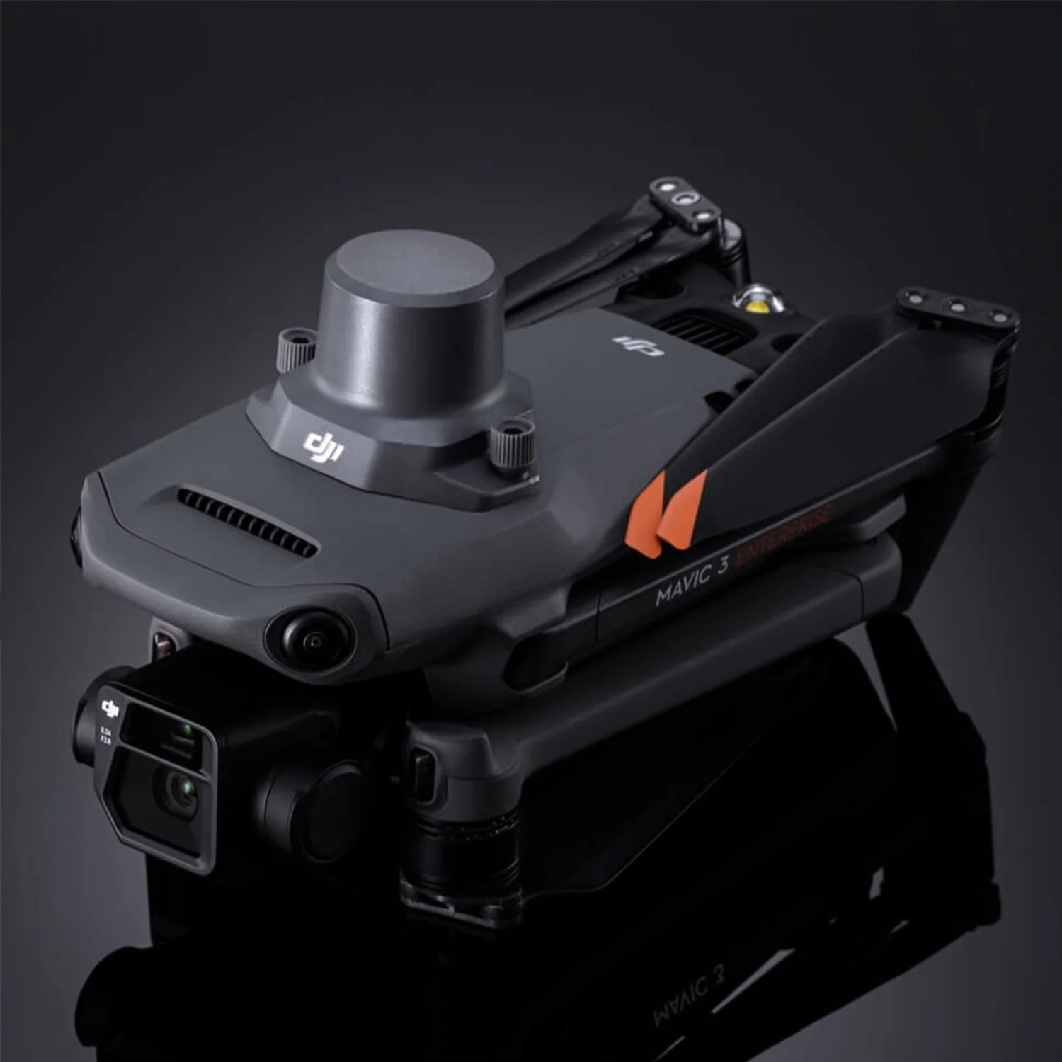
Robot Details
DJI Mavic 3E Enterprise • DJIPublished
March 12, 2026
Reading Time
2 min read
Author
Origin Of Bots Editorial Team
Trials Transform Inspections
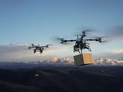
Recent trials conducted in early 2026 demonstrate the DJI Mavic 3E Enterprise slashing power line scanning times by 57% compared to legacy methods, enabling utilities to cover vast grids faster while minimizing crew exposure to high-voltage risks. Teams in simulated utility corridors logged these gains during January field tests across rugged terrains, attributing the leap to the drone's rapid imaging cycles and stable hovering amid gusts up to 12 m/s. This breakthrough disrupts traditional helicopter patrols, promising annual savings in the millions for grid operators worldwide as deployments scale.
Shutter Speeds Surge
Engineers spotlight the Mavic 3E's mechanical shutter as a core innovator, capturing blur-free 20MP images at 0.7-second intervals during high-speed passes over transmission towers. This pairs with a 56x hybrid zoom telephoto lens for distant defect spotting, transforming fleeting flyovers into detailed audits without halting operations. Pilots report seamless integration of the built-in loudspeaker for real-time crew alerts, amplifying safety in live-line environments where split-second decisions prevent outages.
Precision Sensors Excel
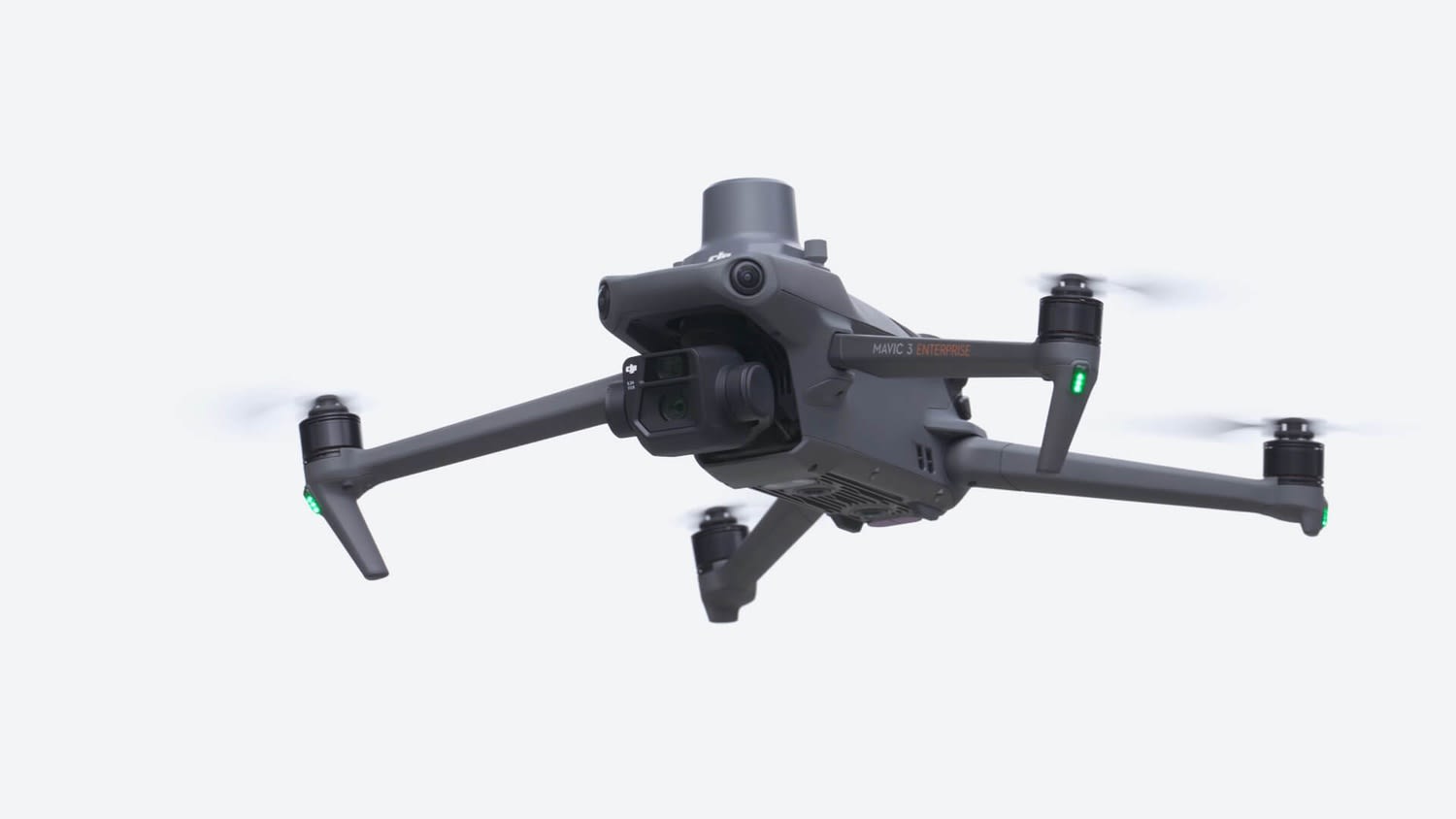
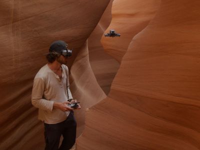
Advanced RTK modules deliver centimeter-level positioning, fusing with omnidirectional binocular vision and infrared sensors to navigate cluttered power corridors autonomously. The DJI O3 Enterprise system maintains 1080p/30fps live feeds over 15 km in FCC regions, while IMU and compass data ensure unwavering stability at altitudes up to 6,000 m. These engineering feats enable the drone to execute repeatable scan paths, reducing human error in identifying corrosion or insulator faults that plague manual checks.
Utilities Embrace Deployments
Power companies now deploy the Mavic 3E for routine infrastructure patrols, environmental scans, and emergency rescues, where its 45-minute flight endurance covers 32 km stretches in one sortie. In search-and-rescue scenarios near downed lines, the integrated beacon aids night operations, while mapping modes generate 3D models for repair planning. This versatility positions the quadcopter as a frontline asset, accelerating responses and cutting downtime in critical energy sectors.
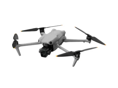
Specs Power Missions
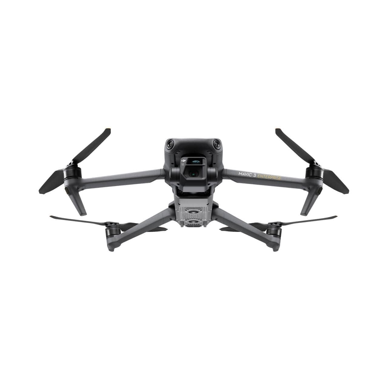
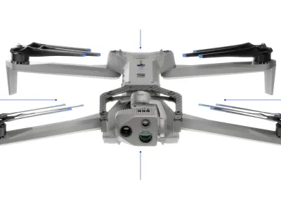
Weighing 915 g folded into 221 × 96.3 × 90.3 mm for easy transport, the Mavic 3E unfolds to 347.5 × 283 × 107.7 mm with a 1,050 g max takeoff weight, supporting up to 1.5 kg payloads like RTK units or sensors. It hits 21 m/s in sport mode for swift line traverses, backed by batteries enduring 1,000 cycles and sensors including wide/tele cameras, omnidirectional vision, infrared ranging, IMU, compass, and RTK/GPS/GLONASS/BeiDou navigation. Safety shines through obstacle avoidance, return-to-home, precise hover, and high-altitude warnings, all orchestrated via DJI Pilot 2 software.
Rivals Faceoff Table
| Robot | Key Advantage | Where DJI Mavic 3E Enterprise Wins | Target Use |
|---|---|---|---|
| DJI Mavic 3 classic | Balanced consumer imaging | Superior RTK precision and mechanical shutter | General photography |
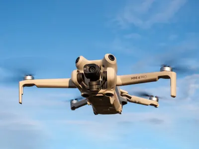
| DJI Mini 4 Pro | Ultra-light portability | Extended 45-min flights and 1.5 kg payload | Hobby aerial video |
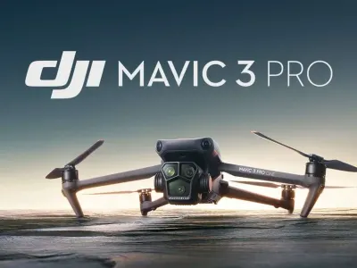
| DJI Mavic 3 Pro | Triple-camera versatility | Faster 0.7s intervals and enterprise software | Professional filmmaking |
| ANAFI Ai | AI mapping automation | 56x zoom and omnidirectional obstacle sensing | Quick site surveys |
Sources
Related Articles
Switzerland Fields Black Hornet 4 on Piranha Vehicles 2026
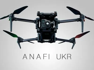
Finland Deploys €15M Parrot ANAFI UKR Fleet for Enhanced Military ISR
DJI Avata 360 8K Flagship Launch March 26
DJI Flip Redefines Compact Drone Performance With 31-Minute Flight Endurance and Professional-Grade Imaging
Related Comparisons
Compare DJI Mavic 3E Enterprise with similar robots
DJI Air 3 vs DJI Air 3S
Compare DJI Air 3 vs DJI Air 3S for camera quality, low-light sensors, obstacle avoidance, battery life, and pro videography outcomes.
DJI Avata 3 vs DJI Neo 2
Which camera drone is better? DJI Avata 3 vs DJI Neo 2 compared for image quality, battery life, range, safety, and pro vs beginner use.
DJI FlyCart 30 vs DJI FlyCart 100
Compare DJI FlyCart 30 and FlyCart 100. Detailed analysis of sensors, navigation, battery lifespan, safety, and payload handling.

Skydio X2D vs Skydio X10
Compare Skydio X2D vs Skydio X10 for camera quality, flight time, range, and cinematic capabilities in defense and inspection.
Learn More About This Robot
Discover detailed specifications, reviews, and comparisons for DJI Mavic 3E Enterprise.
View Robot Details →