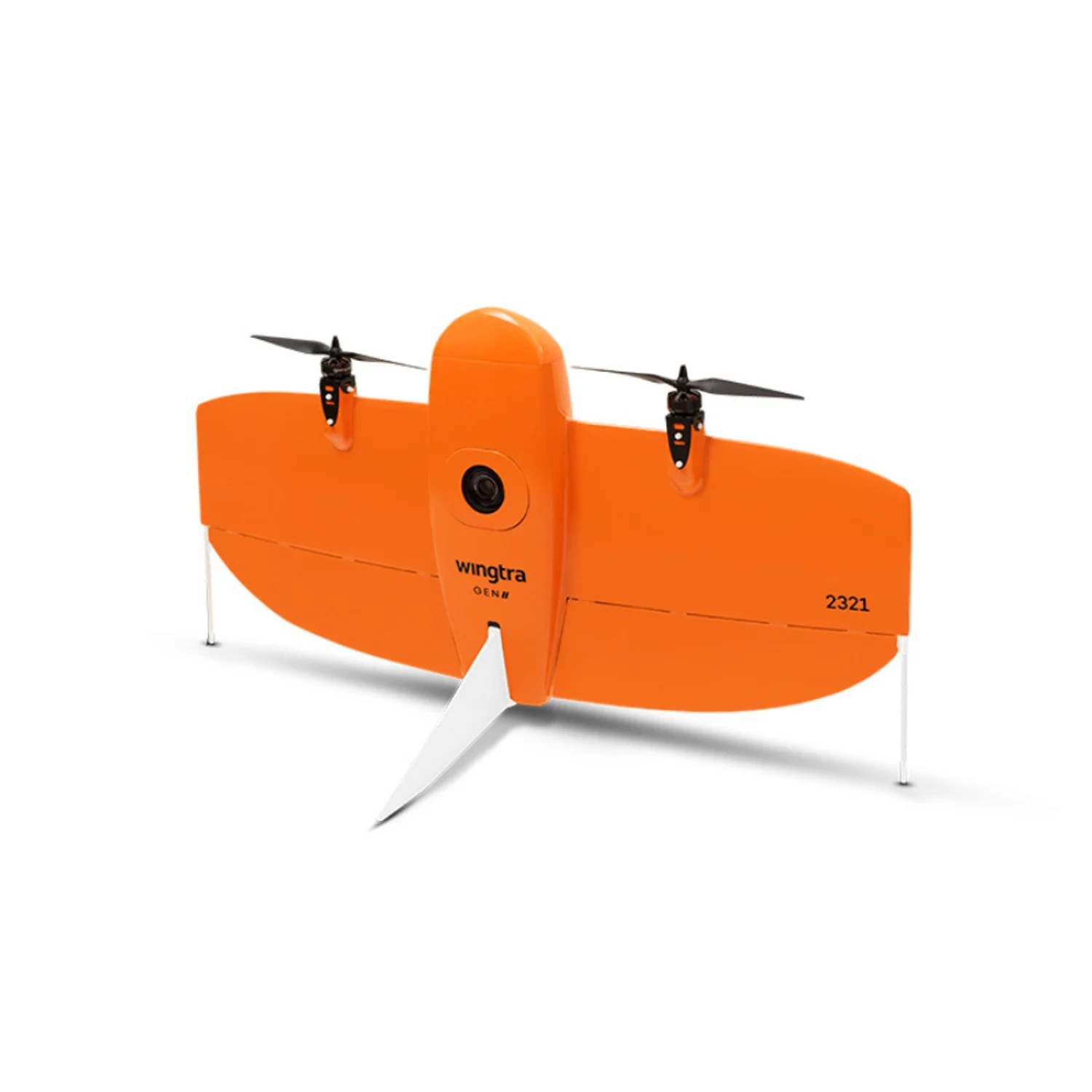
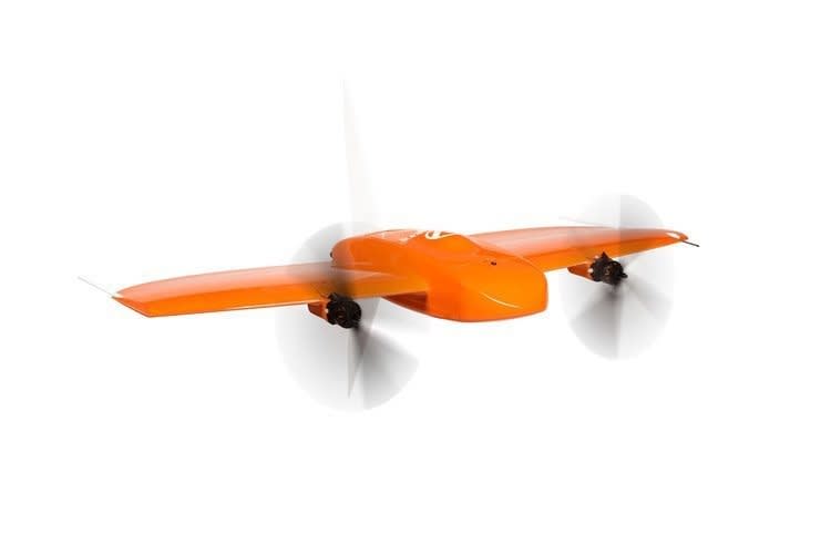
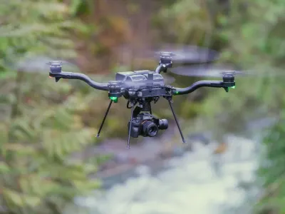
WingtraONE
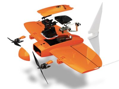
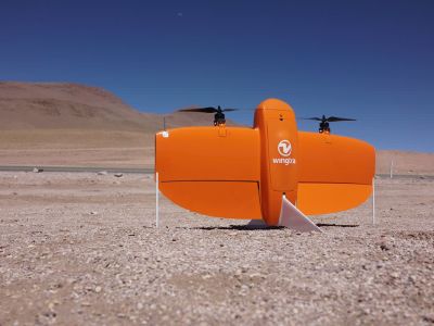
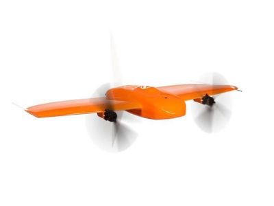
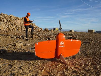
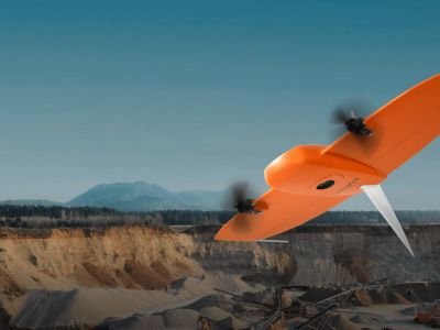
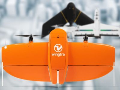
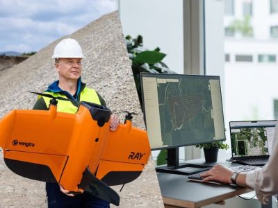
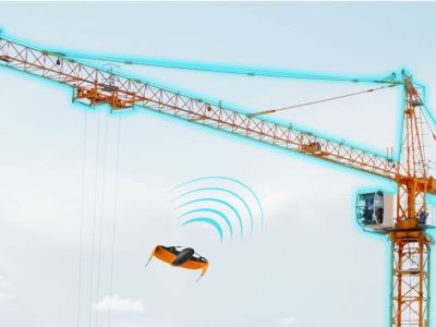
The WingtraONE is a professional tailsitter VTOL mapping drone designed for high-precision aerial surveying and data capture. Featuring a 125 cm wingspan and 800 g payload capacity, it supports interchangeable cameras like the 42 MP Sony RX1RII full-frame sensor for RGB photogrammetry, multispectral options for agriculture, and LiDAR for 3D modeling. With up to 59 minutes flight time at 16 m/s cruise speed, it covers vast areas efficiently in winds up to 12 m/s sustained. Vertical takeoff and landing requires minimal 2x2 m space, enabling operations in confined sites. PPK ensures cm-level accuracy without ground control points. Robust construction handles -10 to 40°C temperatures and high altitudes up to 5000 m. Integrated software provides autonomous mission planning, real-time monitoring, and seamless data processing for surveying, mining, construction, and environmental monitoring applications.
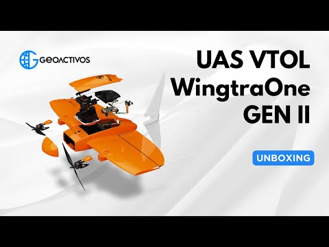
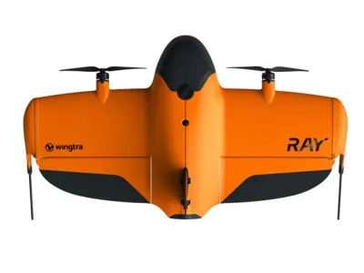
Image Gallery
Below images are from Wingtra's official sources
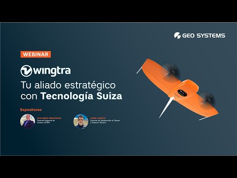
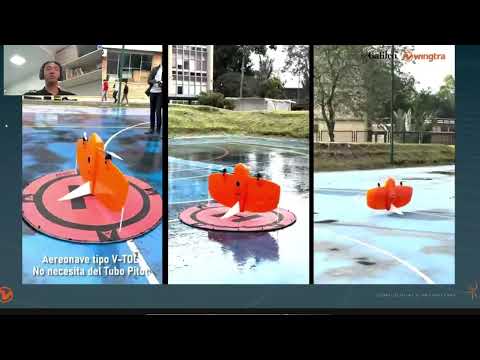
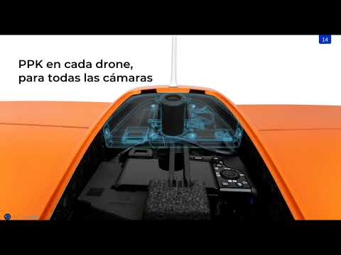
Review Videos
Watch expert reviews and demonstrations of this robot
More Robots from Wingtra
Explore other robots from this manufacturer
Latest News About WingtraONE
Stay updated with the latest articles and developments
WingtraONE Covers 1,300 Acres in 57 Minutes with CAT 3 Cert
WingtraONE just shattered expectations in a high-stakes mining survey trial conducted in October 2025, mapping 1,300 acres in a mere 57 minutes while earning Category 3 certification for beyond-visual-line-of-sight operations. This deployment in rugged Australian terrain demonstrates how the fixed-wing VTOL drone transforms large-scale topographic mapping, delivering centimeter-level accuracy without ground control points. Operators hailed the feat as a game-changer for efficiency, slashing survey times that once took days with traditional methods. The certification opens doors to autonomous fleet missions across vast sites, boosting productivity in industries hungry for rapid data.
More Drones
Discover more robots in the same category

Robots From Other Categories
Discover complementary robots from different categories that work well together

Frequently Asked Questions
Get answers to common questions about this robot
Q1. What is WingtraONE, and what problem is it designed to solve?
WingtraONE is a fixed-wing VTOL drone developed by Wingtra for professional aerial surveying and mapping. According to the manufacturer, it addresses limitations of multirotor drones by enabling larger area coverage in confined spaces.
Q2. What are the main capabilities and key features of WingtraONE?
WingtraONE features vertical take-off and landing, payload capacity up to 800 g, and support for sensors like RGB and multispectral cameras. It operates in winds up to 12 m/s sustained and includes PPK GNSS for mapping accuracy.
Q3. Who is WingtraONE built for, and which industries can benefit from it?
WingtraONE targets surveyors, cartographers, and agricultural professionals. Industries including construction, mining, and environmental monitoring use it for data collection over large areas.
Q4. Is WingtraONE a commercial product or still a research prototype?
WingtraONE is a commercial product available through distributors. The manufacturer offers it in packages like Gen II with integrated software for professional deployment.
Q5. Is WingtraONE currently available for purchase, and when is it expected to ship?
As of 2026, WingtraONE is available for purchase via authorized distributors. Shipping follows pre-order fulfillment according to distributor timelines.
Q6. How does WingtraONE actually work in real-world environments?
WingtraONE performs autonomous missions planned via WingtraPilot software on a tablet. It transitions from VTOL to fixed-wing flight, capturing data in areas with minimal 2x2 m space, even on rough terrain.
Q7. When was WingtraONE announced or officially launched?
WingtraONE was introduced by the Swiss manufacturer prior to 2026, with Gen II updates documented in product specifications. It has been marketed for professional use since initial release.
Q8. How is WingtraONE different from other robots in the same category?
Unlike multirotor drones, WingtraONE uses tailsitter VTOL for fixed-wing efficiency, covering up to ten times more area per flight. It supports high-altitude operations up to 4800 m with specialized propellers.
Q9. Does WingtraONE require additional development or customization after purchase?
WingtraONE ships as a complete system with pre-integrated sensors and software. Users select payloads up to 800 g, but no further development is required for standard mapping missions.
Q10. What is the future roadmap or planned upgrades for WingtraONE?
The company has announced plans to enhance sensor integrations and software for broader applications. Wingtra targets expanded high-altitude and environmental resilience in future iterations.
User Comments (No Login needed)
Share your thoughts, experiences, or questions about this robot.
Comments are reviewed before posting.